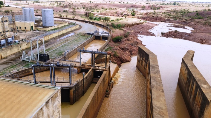
Bakolori Irrigation Scheme
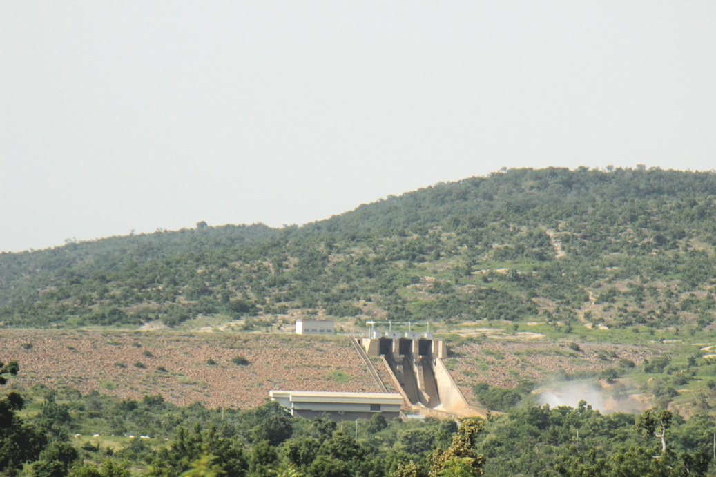
Dadin Kowa Irrigation Scheme

Hadejia Valley Irrigation Scheme
Kano River Irrigation Scheme

Middle Rima Valley Irrigation Scheme


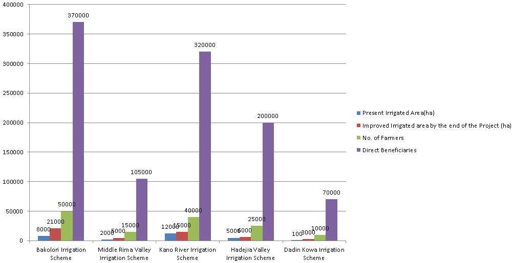
Summary chart of TRIMING Status & Projection Data
The TRIMING project focuses on five irrigation schemes located in three river basins of northern Nigeria. These schemes were identified by the Government of Nigeria (GoN) as priority areas.
At the moment, Status and Projection data sourced from participatory Irrigation Scheme exists for indicators namely: - Present Irrigated Area (ha), Improved Irrigated Area by end of the Project (ha), No. of Farmers and Direct Project Beneficiaries.
Details of TRIMING Status & Projection Data
| S/No | Scheme | No of Farmers |
| 1 | Bakolori Irrigation Scheme | 2,180 |
| 2 | Middle Rima Valley Irrigation Scheme | 0 |
| 3 | Kano River Irrigation Scheme | 50,700 |
| 4 | Hadejia Valley Irrigation Scheme | 0 |
| 5 | Dadin Kowa Irrigation Scheme | 0 |
Total |
52,880 |
|
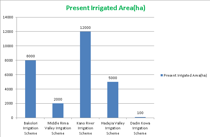
Present Irrigated Area is gotten by determining the Present Net Irrigable land of the project command area equipped with irrigation and drainage services expressed in hectares over a period of one year.
The Improved Irrigated Area is the projected Net Irrigable land of the project command area equipped with irrigation and drainage services expressed in hectares over a period of one year.

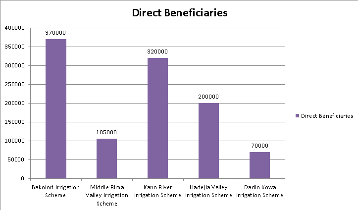
This chart represents the number of persons in a household whose members are registered users of an irrigation scheme supported by TRIMING project. Data is usually collected annually.
Indicators
Data are collected by TRIMING and various stakeholders in similar sub-sector. The TRIMING IDMIS serves as a focal point for collecting, mining presenting and storing project related data inorder to aid for accurate data management, planning, forecasting and informed decision making.
At the Moment, Featured Indicators that are included in the TRIMING's Irrigation and Drainage Management Information System includes but not limited to the following: -
Instruction
To View details about Indicators, Select the Indicator Name, Scheme Name, then Click on "Submit" button.
|
|
About IDMIS
The ultimate objective of the TRIMING Irrigation and Drainage Management Information System (IDMIS) is to provide accurate information to guide and improve the TRIMING Project performance; provide a platform for better catchment and basin-level coordination, and policy analysis; ensure transparency and accountability in the program; and support lesson learning throughout the span of the Project.
As the backbone for a successful IDMIS, the system is currently proposed to hold four (4) separate modules, bundled and integrated within the IDMIS. These are: